Lessons Learned During a Winter Delivery
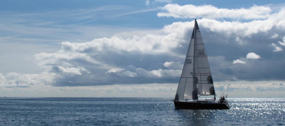
Despite my better judgment, I was coerced into delivering a 40’ cruising sloop up the coast from Oceanside to Moss Landing in early December, a distance of 350 nautical miles. While December weather can be relatively flat and beautiful, it can also deliver mid-latitude low after mid-latitude low for weeks and virtually eliminate any chance of making a safe or comfortable passage.
In addition to lots of insulating garments, I brought an Apple iPad Mini along, on the assumption that it might be at least entertaining, and possibly much more than that. This model had the built-in cellular modem so I could receive updated information and download apps as we sailed north.
My first job was to create the voyage plan, and I used Boating from Navionics. This very easy-to-use program allowed me to download charts of the entire coast of California in a minute or so, and to create a route that would take us, via Santa Barbara, to Monterey Bay. Of particular interest was the ability to place waypoints to avoid the ubiquitous shipping channels outside the Port of Los Angeles and the Santa Barbara channel that are clearly marked on the charts. Total cost: about $20 for charts of the U.S. and some small additional downloads.
After talking to Stan Honey, we knew that are best weather window was going to be very narrow on Wednesday afternoon. Several of my friends had suggested that we use a website called WindyTV.com. This site and its accompanying app allow you to see the windspeed and direction in a very logical manner, without having to possess weather map interpretive skills. You can advance the time hour by hour so you can see when the winds are likely to die when rounding Pt. Arguello and Pt. Sur, for example. As it turned out, we’d be sailing into a decreasing northerly that would be replaced by a rousing southerly as we passed Pt. Sur. It turned out to be incredibly accurate, and as a result, we left a few hours later than planned and had either light winds, or following winds, the entire trip.
The owner had recently installed a large Garmin plotter at the wheel, but my preferred cockpit location was cowering under the dodger. He recommended that I download Garmin Helm, which would allow me to see whatever was shown on the Garmin plotter. What neither of us realized is that it also allows you to operate the plotter from anywhere on the boat: zoom in and out, change from plotter to radar, look up AIS targets; all of this was simple to do from the iPad. Cost for the app: free. This allows anyone with an iPad and one of several modern plotters to effectively have a second or third station for free.
To verify that our AIS was both transmitting and receiving, we used the app FindShip to plot vessels equipped with AIS. Once again, here’s a free app (although it does have some innocuous ads) that allows you to see ships in your area, or anywhere in the world. While it does require a cellular connection, it’s an excellent way to experience the wealth of information that AIS provides without paying for additional hardware.
Finally, and this seems also like a historical footnote after the other apps, we were able to view the weather maps from the Ocean Prediction Center for the Eastern Pacific, in color, on the excellent National Weather Service website. We can all remember the long process of waiting for a weather map to print out from some screeching weatherfax while sailing to Hawaii, and of course we were able to get the charts because we were within cellular coverage, but it’s so much nicer to simply go to a web page and select from the dozen or so surface analysis and forecasts that are shown there. opc.ncep.noaa.gov.
An iPad may not replace all of the electronics on a coastal cruising boat, but it certainly augments and enhances those that you have. You’ll still need a VHF and a depthsounder and an EPIRB, along with paper charts, a compass, and plotting tools, but for virtually no money other than the cost of the tablet, you can have a world of navigational tools at your disposal.